River Flows and Connectivity
News

Resilience In Action: How environmental water protected Goulburn River health through floods, fires and poor-quality inflows
When the 2026 Longwood bushfires sent ash and debris surging into the Goulburn River, environmental water already flowing through the system provided critical dilution at the right moment.

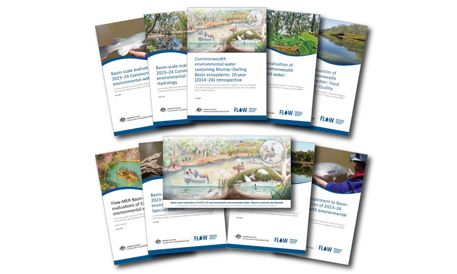
2023–24 evaluation reports highlight Flow–MER Program’s impact
The latest evaluation reports from the Flow MER Program and CEWH highlight a decade of progress in delivering water for the environment across the Murray Darling Basin. Findings show how science, adaptive management and collaboration continue to shape outcomes for fish, birds, ve
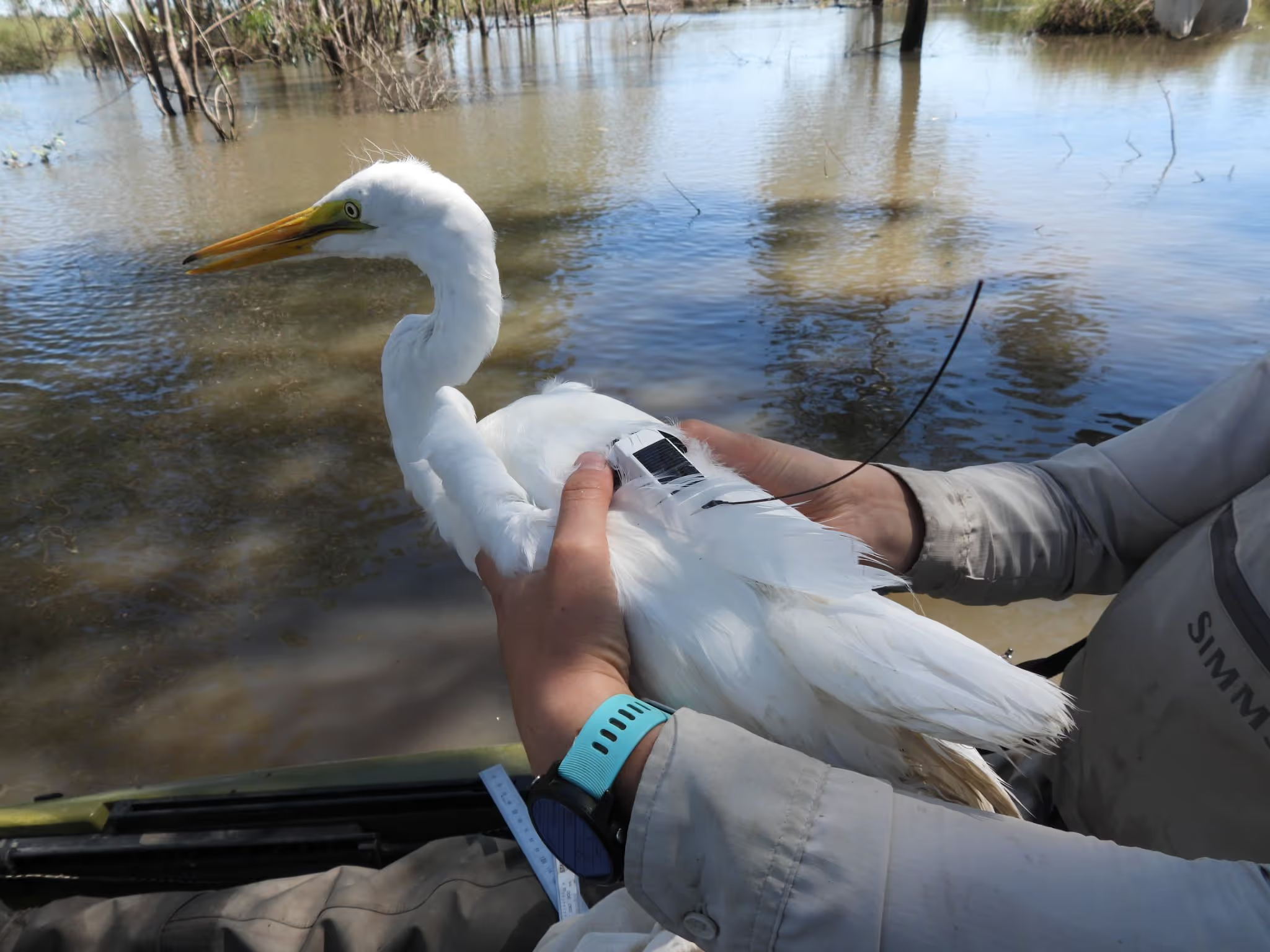
Following the flows: Flow-MER’s satellite bird tracking research
Researchers reveal how waterbirds cope with Australia’s highly variable climate and hydrology, and how they “chase the floods” across vast distances. By attaching tiny satellite-tracking backpacks to 200+ birds, the project gathered more than 50,000 bird‑days of tracking data.

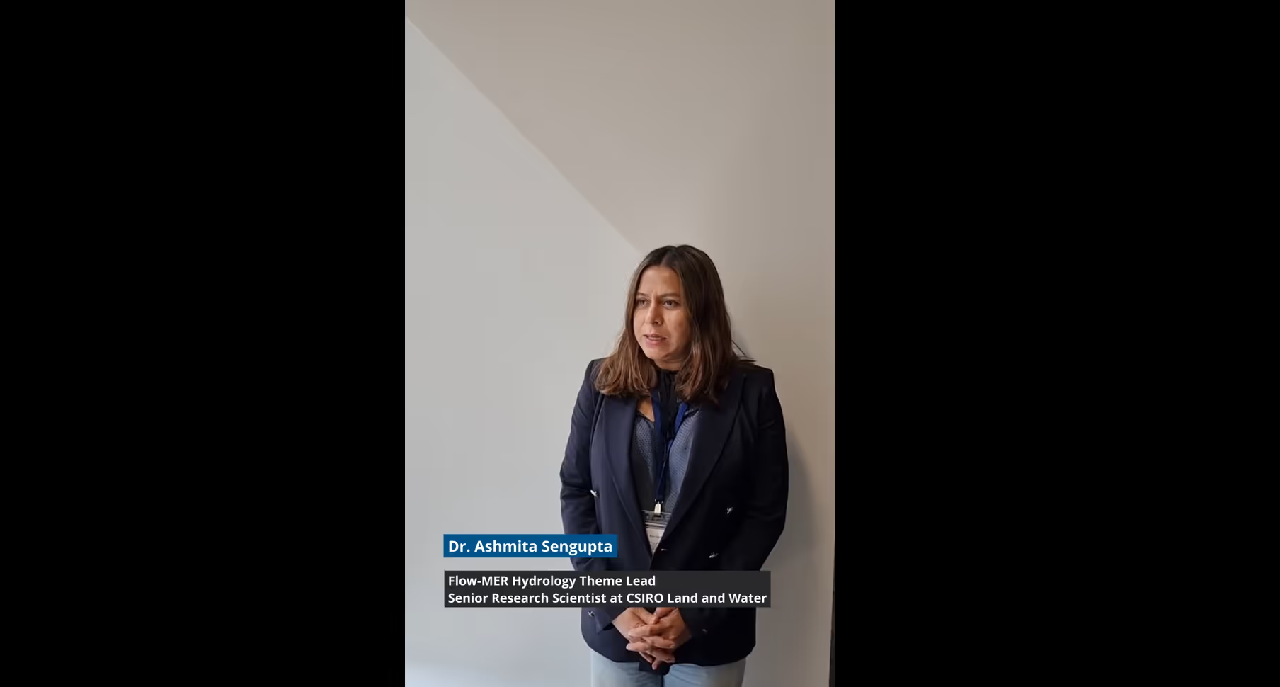
Wading into the collaboration behind inundation mapping
Precise inundation mapping is key to tracking environmental water movement in the Murray-Darling Basin. Experts combine satellite imagery, hydrology data and local insights to map wetlands and streams, ensuring effective water management and habitat protection for native species.