Mid-Murray River System
Image: Werai Lands, March 2022. Photo credit: Thom Gower, Streamology
About the Area
The Mid-Murray Area extends from Hume Dam, near Albury, to Mildura Weir, flowing through the traditional lands and waters of the Duduroa Dhargal, Wiradjuri, Bangerang, Yorta Yorta, Barapa Barapa (Perepa Perepa), Wamba Wamba (Wemba Wemba), Mutthi Mutthi, Nyeri Nyeri, Tati Tati, Wadi Wadi, Barkindji, Maraura, Kureinji, Latji Latji and Ngintait Peoples.
It is a hydrologically and ecologically complex area that includes the Murray River and adjacent wetlands and floodplains, as well as the network of rivers, creeks and wetlands of the Edward/Kolety-Wakool River System.
The water courses in the Mid-Murray are important for native fish populations and connect valuable wetland and floodplain habitats. The Area includes river red gum forests and woodlands, black box woodlands and extensive lignum shrublands. The internationally important Ramsar wetlands in the Mid-Murray are Barmah Forest, Gunbower Forest, Hattah-Kulkyne Lakes, and the NSW Central Murray Forests Ramsar site comprises Murray Valley National Park and Murray Valley Regional Park, Koondrook-Perricoota Forest and Werai Lands.

Wakool River. Photo credit: Sascha Healy, Murray-Darling Wetlands Working Group


Community field day on the banks of the Edward/Kolety River, December 2019. Photo credit: Robyn Watts, Charles Sturt University
The Mid-Murray Area has a rich and diverse Indigenous history and significant cultural, economic and social values. The waterways provide water for domestic use, and support diverse agriculture, tourism and recreational activities, and Aboriginal cultural values and practices.
The flow regimes of waterways in the Mid-Murray River System have been significantly altered by river regulation and water extraction. Commonwealth and NSW state water for the environment are cooperatively managed and delivered to the Mid-Murray Area from Hume Dam and Yarrawonga Weir, and numerous regulators and weirs. Water can also be delivered into the system through irrigation ‘escapes’ managed by the irrigator-owned company Murray Irrigation Limited (MIL).

Our Work
Learn about the key activities taking place in this Area.

River Flows and Connectivity
River flows are fundamental to the health of riverine and floodplain ecosystems. We will evaluate the contribution of Commonwealth environmental water to the flow of the main rivers and tributaries in the Mid-Murray Area, including those in the Edward/Kolety-Wakool System as well as the Murray River from Hume Dam to Mildura. Hydrological analysis will incorporate the inflows from the Kiewa River, Ovens River, Broken Creek, Goulburn River, Campaspe River and Loddon River in Victoria, and Billabong Creek, Yanco Creek and Murrumbidgee River in New South Wales. Flow data from gauges throughout the system will be analysed, incorporating the results of models that estimate flows returning from floodplains and wetlands back into the river network.
We will also evaluate the extent of wetland and floodplain inundation and connectivity from environmental watering, specifically in Werai Lands and Niemur Forest. This is done using a combination of satellite imagery, wetland extent mapping, gauged inflows, field verification and depth logger information.

Cultural Outcomes
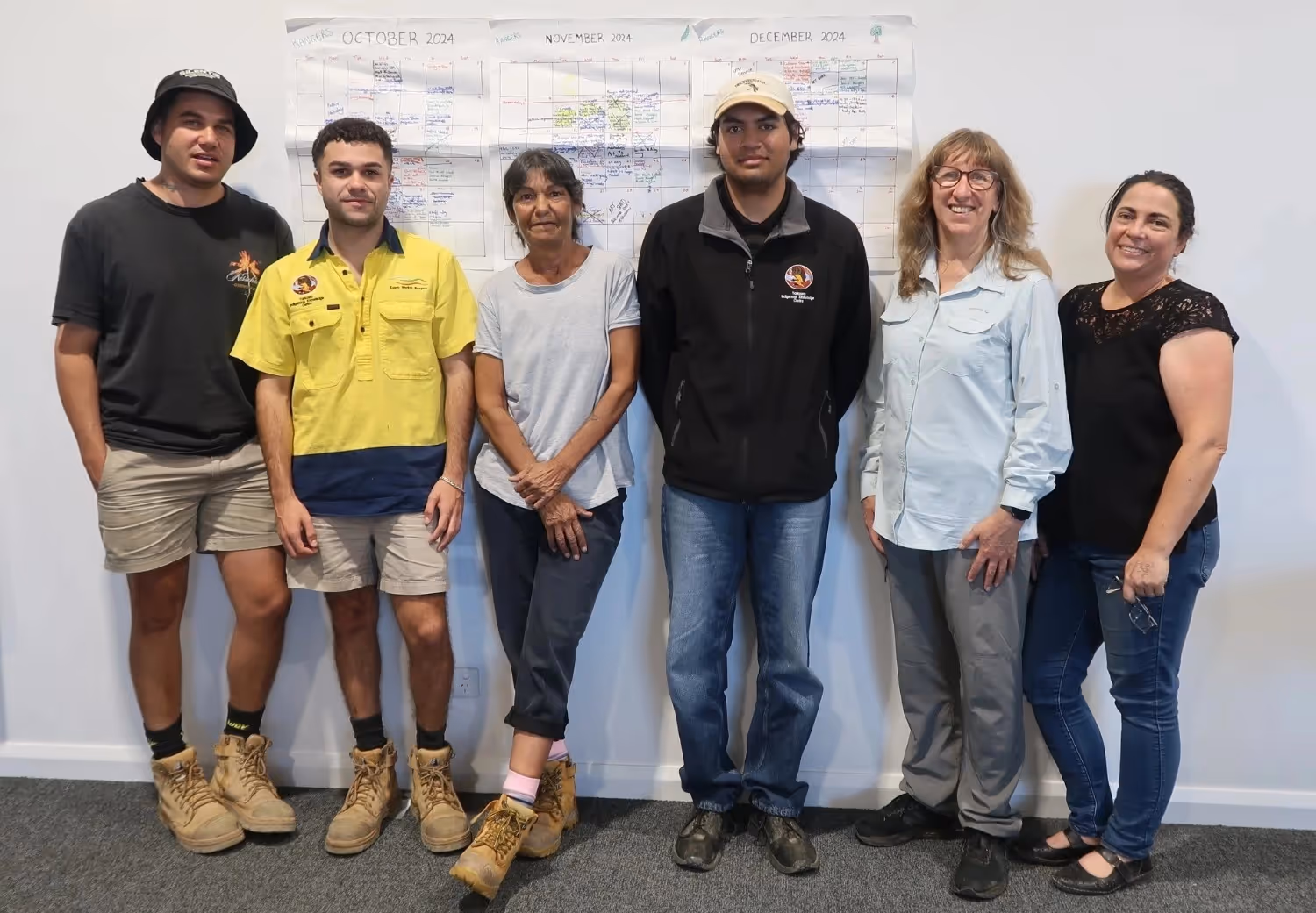
First Nations peoples from the Mid-Murray Area are involved in the planning, monitoring and evaluation of Flow-MER monitoring and research activities. The Mid-Murray Area Cultural Advisor is assisting the project team in engaging with First Nations people and groups in the Mid-Murray Area. First Nations peoples are partners in activities that support cultural outcomes, provide training opportunities, and enable First Nations peoples of the Mid Murray to come together to share their knowledge and experiences. First Nations peoples involved in Mid-Murray Flow-MER activities will be invited to share their stories and perspectives as part of the evaluation and reporting of the outcomes of environmental water monitoring and research. The cultural outcomes theme evaluation will document the extent of engagement and collaboration with First Nations peoples in the Mid-Murray Area.

Native Vegetation
The vegetation communities of the rivers, wetlands and floodplains in the Mid-Murray are valuable ecological assets that support landscape-scale biodiversity. Vegetation communities provide breeding habitat, food and shelter for water-dependent species and are integral to overall ecosystem function. Monitoring of native vegetation in the Mid-Murray Area will assess how environmental water has contributed to maintaining or improving the condition of forests and woodlands, non-woody vegetation communities, and lignum shrublands.

Native Fish
The Mid-Murray Area supports a diverse fish community. Native fish monitoring will improve our understanding of how environmental water can help support native fish abundance, recruitment and condition. Annual fish surveys will be undertaken using an electrofishing boat at 32 sites throughout the Mid-Murray Area, to collect data on weight, length and condition of fish.

Knowledge Exchange and Community Engagement
Our knowledge exchange, communication and engagement strategy aims to improve understanding, inform decision-making and adaptive management, and build awareness of environmental watering outcomes through a knowledge generation and sharing network.
Communication and engagement will be undertaken through meetings, presentations, workshops, community news articles, digital storytelling, field days, citizen science activities, social media and the Flow-MER website. Some data and images of the Mid-Murray Area will be accessible via an interactive Mid-Murray map. Flow-MER activities and outcomes will also be reported at scientific forums and in scientific papers.


Latest News
Annual reports, quarterly snapshots and implementation plans for the Mid-Murray River System can be found on the Commonwealth Environmental Water Holder (CEWH) website.


.avif)


Our Team
The Charles Sturt University has been engaged by the CEWH to conduct Flow-MER activities in the Mid-Murray River System from July 2024 to June 2029.
Partners
Streamology

NSW Department of Primary Industries, Fisheries
NSW Department of Climate Change, Energy, the Environment and Water
Murray Darling Wetlands Working Group

Western Murray Land Improvement Group

Yarkuwa Indigenous Knowledge Centre

Barkindji Maraura Elders Environment Team
Werai Land and Water Aboriginal Corporation

La Trobe University
CSIRO Land and Water