October 17, 2025
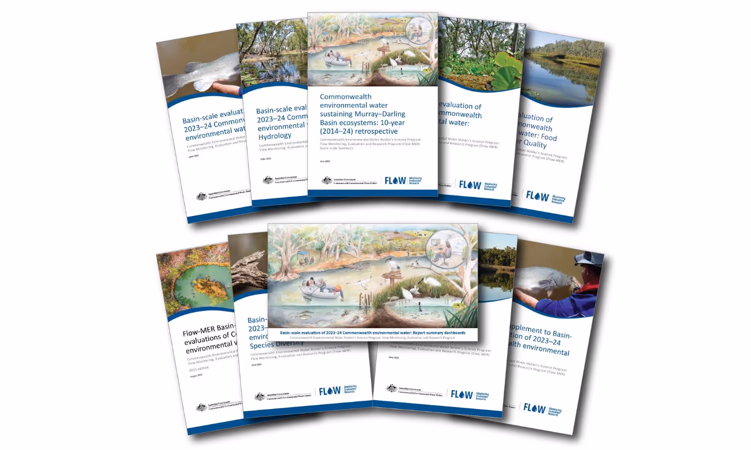
2023–24 evaluation reports highlight Flow–MER Program’s impact
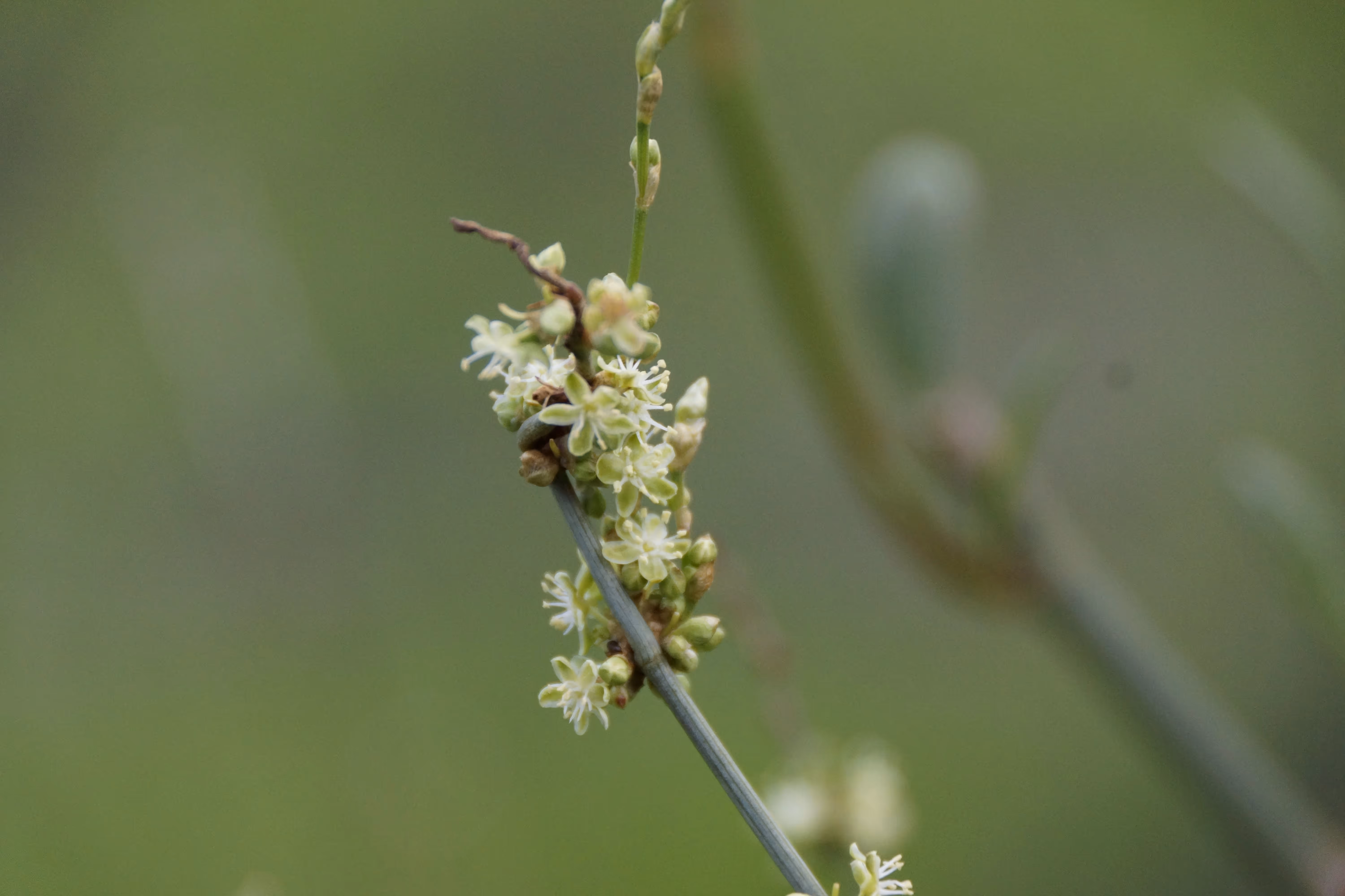
The latest evaluation reports from the Flow MER Program and CEWH highlight a decade of progress in delivering water for the environment across the Murray Darling Basin. Findings show how science, adaptive management and collaboration continue to shape outcomes for fish, birds, ve