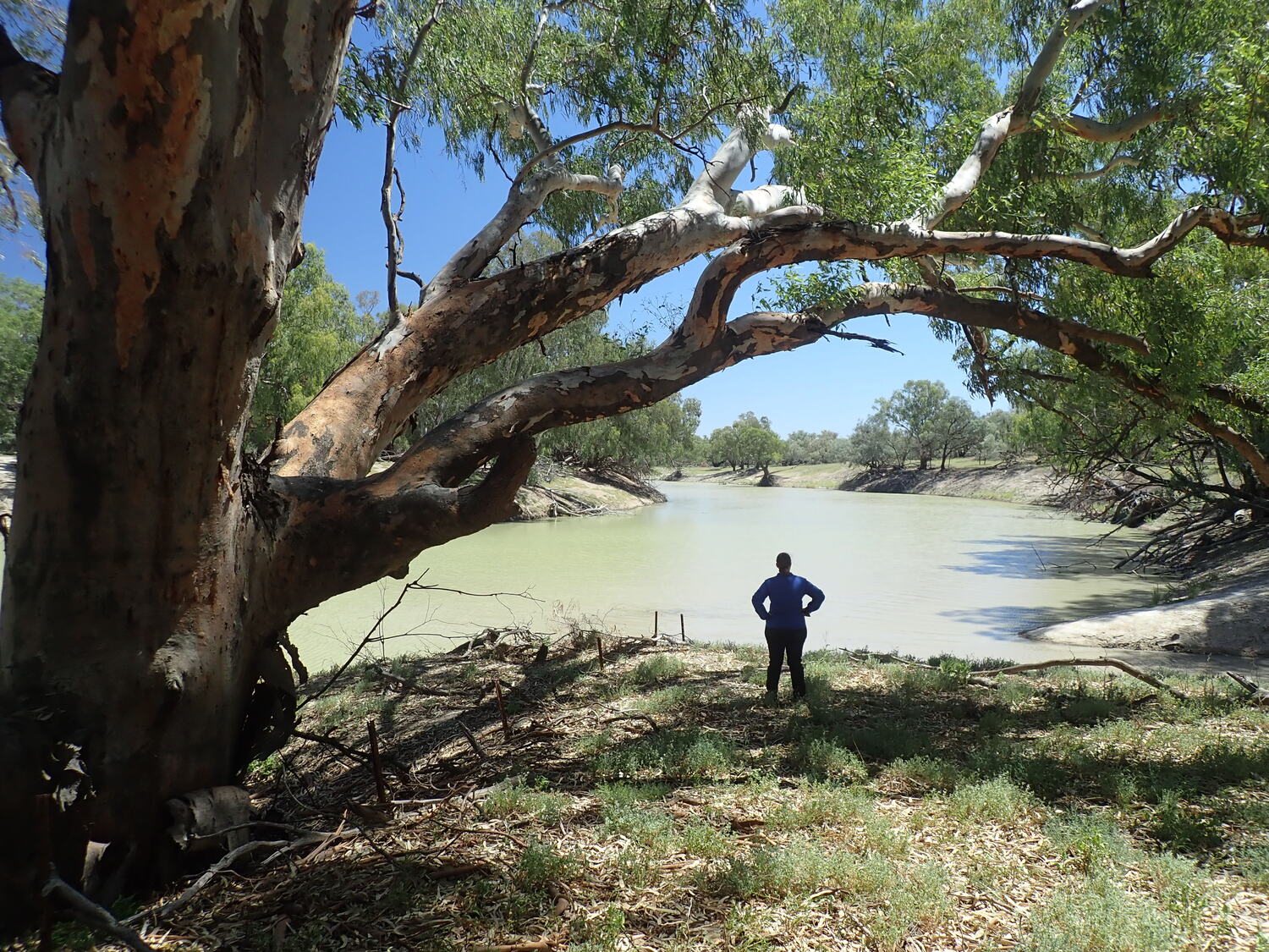
The Murrumbidgee River originates from wet heath and alpine bog communities in the Snowy Mountains of New South Wales where it then flows north through the ACT before veering west to merge with the Murray River 1,485 km downstream. As the river descends from the mountains, it passes through some of the most productive and fertile valleys in south-eastern Australia before eventually braiding out across the plains west of the small town of Maude. In this region (referred to as the Lower Murrumbidgee floodplain or Lowbidgee for short), fringing river red gum (Eucalyptus camuldulensis) forests, which have hugged the river for most of the journey, spread out to form some of the most extensive and ecologically important stands in Australia. Further from the main river channel, black box, and river coobah grow along the less frequently inundated floodways and skirt the edges of floodplain lakes and swamps.
Red gum forests are special places, home to a diverse range of plants and animals, and are a keystone species to the function and resilience of floodplain systems. Not only do they contribute massive amounts of carbon to the waterways via falling leaves, but their hollows provide homes for a myriad of birds, mammals, and reptiles. Towering red gums are also adorned with indigenous canoe scars, or limbs fashioned into rings marking ceremonial sites or tribal boundaries, an omnipresent reminder of the important cultural connections Australia’s First Nation peoples had with floodplain environments.


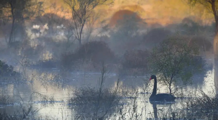
When floodplains are healthy, regular inundation keeps trees in good condition and creates a mosaic of open woodland with tall spreading trees that envelope aesthetically beautiful aquatic meadows. Aquatic meadows are incredibly diverse environments, colourful fields of lilies and water primrose, floating nardoos, delicate spirals of milfoils and water ribbons are interspersed with emergent stands of spike rush, typha and phragmites. These tall rushes make excellent nesting sites for waterbirds like bitterns, coots, grebes, crakes and swans.

Under the clear waters of floodplain wetlands, carnivorous bladderworts (Utricularia spp.) cruise through the water column capturing zooplankton in specialised pods anchored to the base of their leaves. In clear wetlands, mats of starworts, water ribbons and floating pondweeds can grow up to one metre below the waters surface sending flowers up to the surface on elongated stems. Tiny spike rushes and dozens of different types of native aquatic herbs grow along the shallow edges merging seamlessly with terrestrial species.


Why is wetland vegetation important?
Aquatic plants play many important roles in freshwater ecosystems, they help keep the water clear, capture excess nutrients and produce oxygen that supports aquatic life. Many aquatic animals are entirely dependent on vegetation. Juvenile fish hide in the dense stands of milfoils feeding on tiny insects and crustaceans that graze on floating algae, while tadpoles graze on films of algae and fungi that grow along the dense trunks and spike rushes. Hundreds of different types of insects such as caddisfly and mayfly larvae, aquatic beetles, and many species of aquatic snail feed on plants and fallen litter, using the complex structure of submerged vegetation to attach their eggs. Predatory water bugs, dragonfly and damselfly larvae hunt through vegetation and use the emerged stalks to climb out of the water to complete their metamorphosis. The concentration of food attracts waterbirds that hunt for fish, tadpoles, and yabbies, while swans feed on the meadows of water ribbons and azolla. Several waterbird species like swans, grebes and coots use spike rush to build floating nests, while threatened Australasian bitterns carefully conceal their nests and chicks among dense thickets of rushes and reeds.
Managing wetland vegetation
Aquatic meadows were once very widespread across floodplains, lagoons, and slow flowing creeks in the Murrumbidgee. But water extraction and regulation, the construction of flood control levees, heavy grazing and introduced carp have pushed these meadows into severe decline. We are working to preserve aquatic plants by ensuring that existing meadows are maintained and by working with private landholders to restore degraded aquatic meadows. Several strategies are being employed; the most important being restoring more natural wetting and drying patterns at key wetlands, helping landholders reduce grazing pressure during sensitive growth periods, and installing pumps and screens to limit carp movement into wetlands. Pumping also allows key meadows to be maintained using smaller volumes of water so that their condition can be improved even in low water allocation years.
Through the Flow MER program, Charles Sturt University researchers closely monitor aquatic meadows during both wet and dry phases, keeping track of key species and species diversity, watching trees for signs of stress, and helping water managers plan future water deliveries. The data and observations collected during the monitoring program are reported back to CEWH and water managers who then make real time decisions in relation manipulating water levels and inundation duration according to the management objectives of each wetland. In some cases, forward planning might involve a decision to allow a site to temporarily dry to encourage species diversity, or a decision to deliver more water to reach areas that experience infrequent watering.


Levees can change the flow of water across the floodplain, stranding aquatic meadows. However, in years of low water availability managers can also use combinations of pumping and levees to ensure that water levels are maintained at key wetlands. This helps maintain the wetland and ensures animals can survive until more favourable conditions return. Photo credit: Skye Wassens.