A major multi-year project has revealed how golden perch (Macquaria ambigua) move through the Wambuul–Macquarie River, its wetlands, and the connected waterways of the northern Murray–Darling Basin.
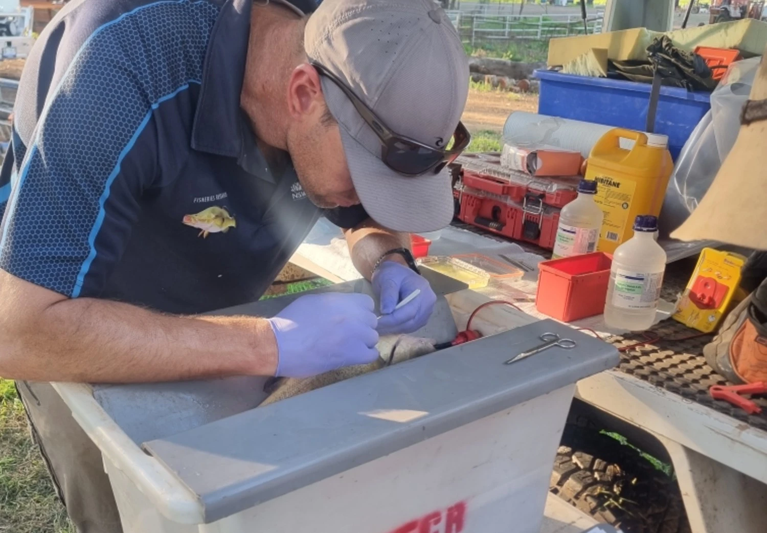
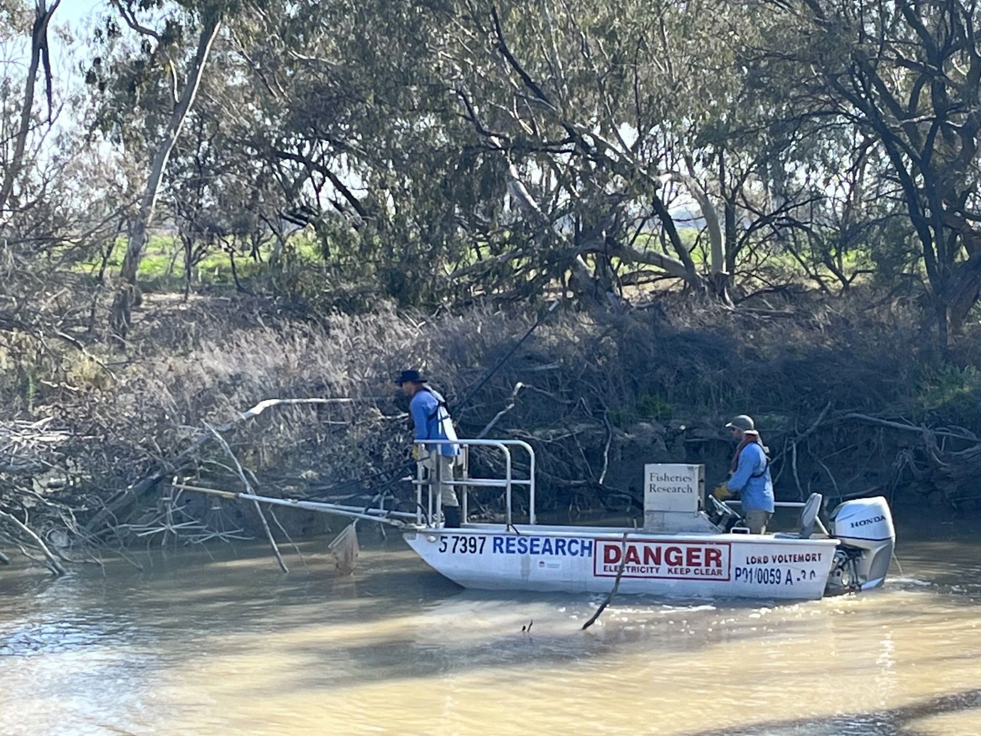
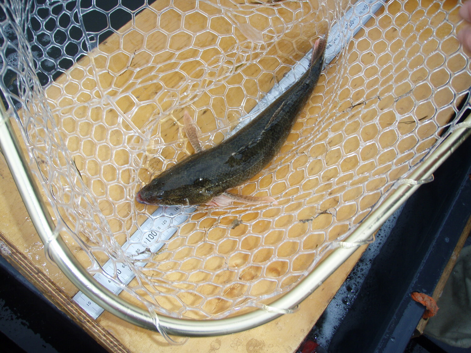
The New South Wales Department of Primary Industries and Regional Development (NSW DPIRD) tagged more than 200 fish with acoustic trackers. The golden perch (also known as yellow belly) were tagged at key sites upstream, downstream, and within the Macquarie Marshes. Their movements were tracked by an extensive network of more than 80 receivers spanning over 500 km of river.
The project confirmed that golden perch move frequently and often great distances, with some individuals travelling more than 500 km. The fish moved between the Macquarie, Barwon, Moonie, and Boomi rivers. However, several barriers significantly restricted movement within the Macquarie River catchment. These barriers include Gin Gin Weir, Warren Town Weir, and parts of the Marshes.
The connection between the Macquarie and Barwon rivers was strong, with fish emigrating to the Barwon and later returning to the Macquarie. Within the Marshes, fish strongly favoured higher-flow pathways such as Bulgeraga Creek and Oxley Break.
These findings highlight the critical importance of water flow management and fish-passage remediation—particularly at Warren Town Weir and Gin Gin Weir—to support the recovery of golden perch numbers and sustain long-term population connectivity.
.avif)
%20(1).webp)
.jpg)