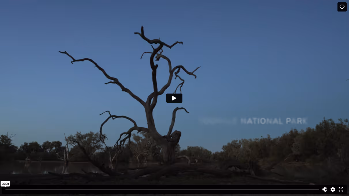
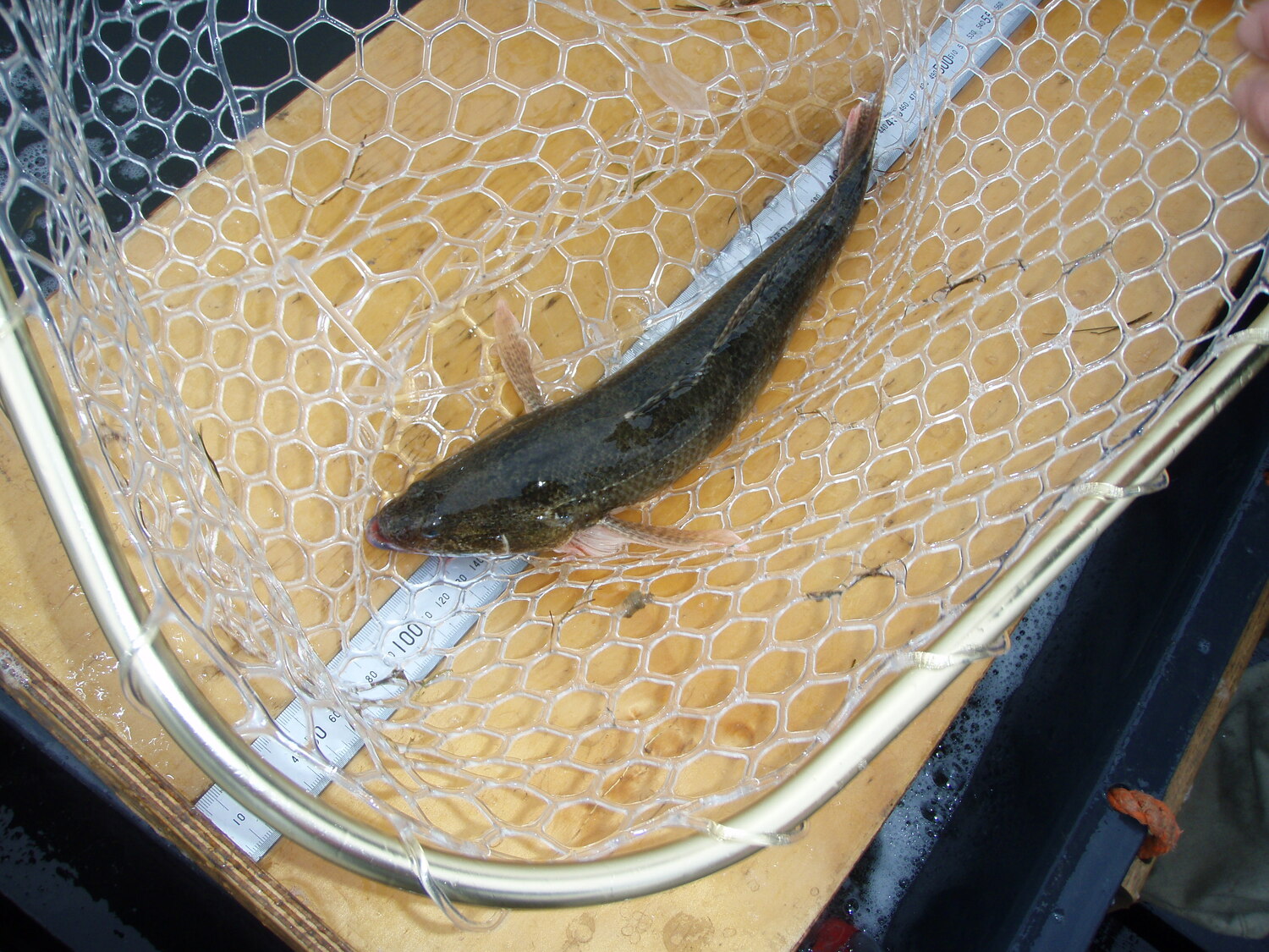
Beautiful as it is rugged, the Western Floodplain of the Warrego (Warriku) River to its junction with the Darling (Baaka) River west of Bourke, covers over 10,000 hectares and boasts an amazing collection of habitats. The area supports numerous native plants, animals, and ecological communities, many of which are endangered and of state and national significance.
This part of Country is important to the Kurnu-Baakandji First Nations People. Words can only do so much to describe the diversity and beauty of the Warrego (Warriku) floodplain, so the Flow-MER Darling and Warrego River Systems Area-scale Project team, led by the University of New England spent a week in the Toorale National Park and Toorale State Conservation Area with photographer and film maker Verso to capture this diversity and beauty in the video above. Enjoy!

%20(1).webp)
.jpg)