.webp)
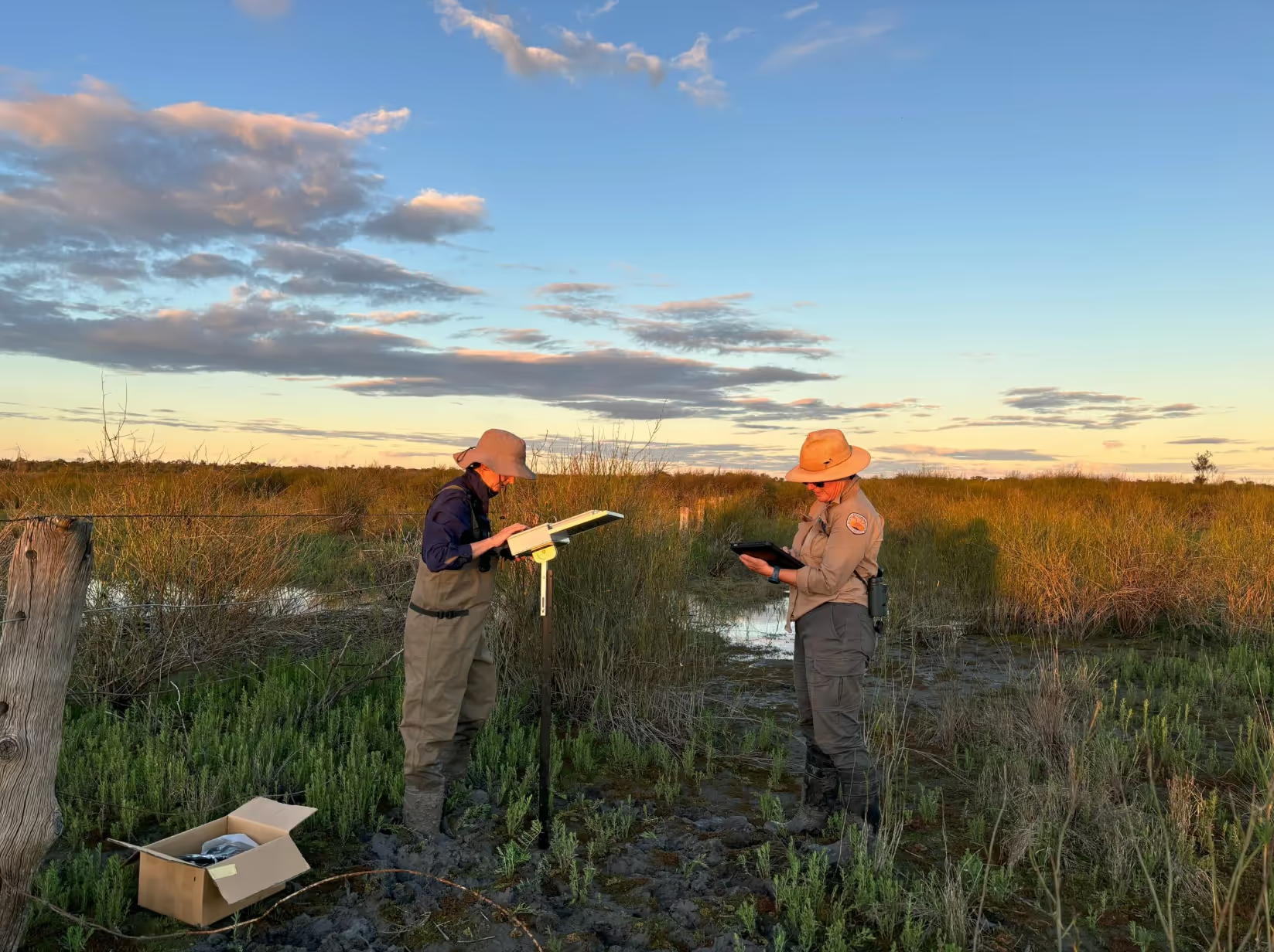
In December 2025, the Lower Balonne Flow-MER team, led by Austral Research and Consulting, completed a third fish survey at Narran Lakes (Dharriwaa). Earlier surveys in October 2024 and May 2025 studied the rising and peak stages of flooding. The third survey focused on the recession stage, when floodwaters began to recede.
Floods in 2024 and 2025 filled the Narran Lakes wetlands. This created a rare opportunity to study fish populations across the entire flood cycle.
The surveys showed that flooding had a major impact on fish numbers and diversity. Different fish species appeared at different stages of the flood.
%20found%20in%20upstream%20weir%20pools%20in%20the%20Lower%20Balonne%20Dec%2025.webp)
Small native fish numbers increased quickly during the rising and peak flood periods. These small native fish included bony bream (Nematalosa erebi), spangled perch (Leiopotherapon unicolor) and carp gudgeons (Hypseleotris klunzingeri). This showed that flooding triggered breeding and the growth of young fish across the system.
Floodplain wetlands were especially important nursery areas for young fish. Large numbers of juvenile bony bream and carp gudgeons were found there during peak flooding.
Upstream weir pools, however, contained more large fish species such as golden perch (Macquaria ambigua) and Hyrtl’s catfish (Neosilurus hyrtlii). These areas appear to act as safe refuges during dry periods rather than breeding sites.

The 2024–25 surveys recorded healthier and more abundant fish populations. This is compared with surveys conducted after the 2008 floods.
Native fish numbers were higher at upstream, downstream and floodplain sites. Especially for species that were almost absent in 2008. This suggests the recent floods helped the ecosystem recover from past droughts.
However, carp increased substantially compared to the 2008 flood. While an increase was expected because carp breed in response to flooding, the size of the increase suggests that more management attention may be required.
The study also found that Narran Park Weir still affects fish movement, even during high flows. The composition of fish communities upstream and downstream of the weir remained different. This is particularly true for larger native fish. This suggests the weir may still partly block fish movement and highlights the need for fish passage projects.
Researchers also discovered that fish species respond differently to different flow patterns. Some species benefited from short, high floods. Others did better during longer periods of steady flow. This suggests river management should aim for a variety of flow types rather than one single flooding approach.
Overall, the study shows that environmental flows and flooding are essential for supporting healthy fish populations and wetland ecosystems at Narran Lakes.
Thank you to the landholders and NSW National Parks and Wildlife Service in the Lower Balonne for supporting our surveys and access to their wetlands.