The Lower Balonne River System Area comprises numerous rivers, including the Culgoa, Birrie, Bokhara, and Narran, as well as adjacent floodplains, waterholes, and wetlands. A significant number of dams and weirs control their flows.
Many communities depend on its water, including townspeople living throughout the system for domestic use, farmers for irrigation of crops, Indigenous people who have a deep and long-standing cultural connection, and thousands of plants and animals. To gain a deeper understanding of this complex network of waterways, the Lower Balonne Area-scale Project team conducted a Flow-MER knowledge-sharing field trip in May 2025.
The trip was attended by a range of stakeholders, including researchers, Aboriginal people and government water management representatives. The group exchanged information throughout the trip, encompassing both Western science and water management methods and traditional cultural knowledge.
Day 1
E. J. Beardmore Dam

The trip commenced at the 81,800 megalitre (ML) E. J. Beardmore Dam (pictured in the background) and Lake Kajarabie, around 21 kilometres (kms) upstream of St George in South-West Queensland.
Mark Bartlem, Senior Water Officer, Department of Local Government, Water and Volunteers, Queensland Government, spoke to the group about the dam’s creation on the Balonne River in the early 1970s, and its main function as water storage for urban water supply to St George and irrigation for the region’s crops including cotton, wheat, grapes, and melons.
Jack Taylor Weir
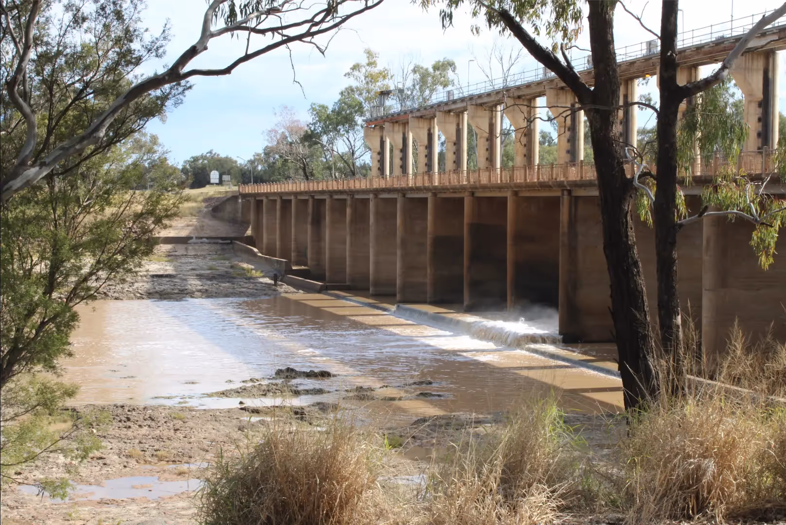
The next stop was Jack Taylor Weir and Andrew Nixon Bridge on the Balonne River, immediately downstream of St George. The bridge is part of the Balonne Highway and the only river crossing in the area. The 10,100 ML capacity dam was built in 1953 and was releasing around 700 ML per day at the time of visiting.
Munga/Munya Lake
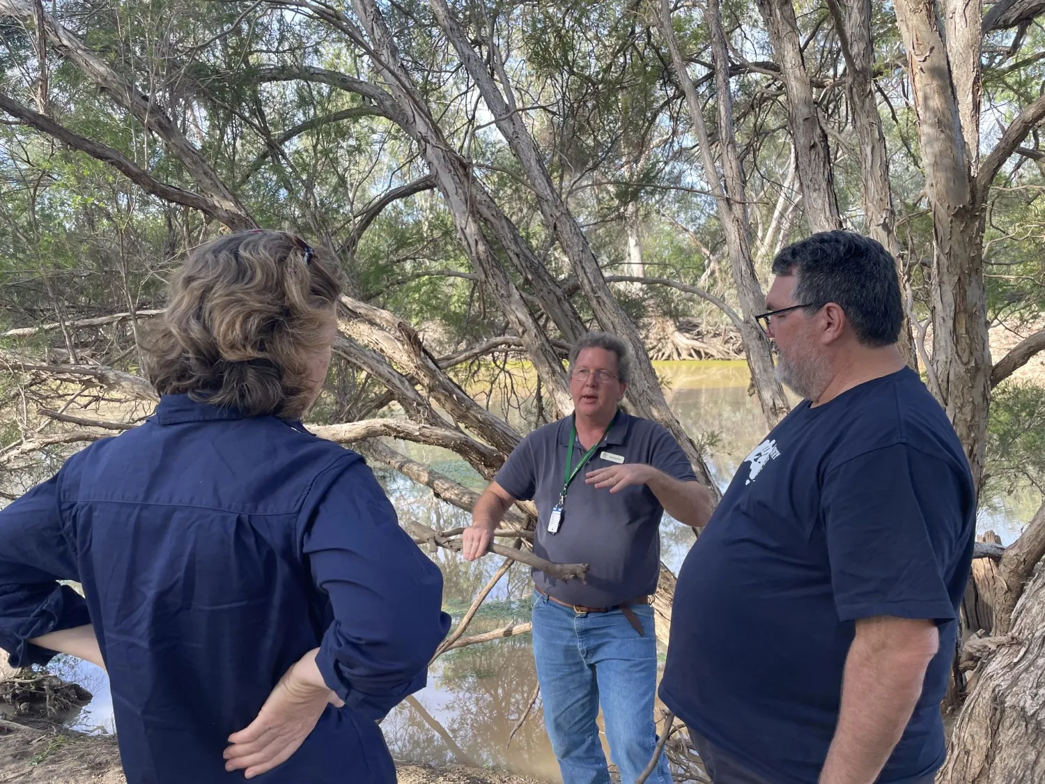
Munga/Munya Lake (Munga being both a local Guwamu and Munya a Yuwaalaraay/Euahlayi word meaning ear in reference to the shape of the Lake) was the next stop on the tour. Commonwealth Environmental Water Holder (CEWH), Local Engagement Officer and Yuwaalaraay/Euahlayi and Gamilaroi man, Jason Wilson, (pictured above, fourth from left) spoke about how under extremely high flows environmental water from the Balonne River enters into Munga/Munya as it is the lowest point on the floodplain.
Doondi Waterhole
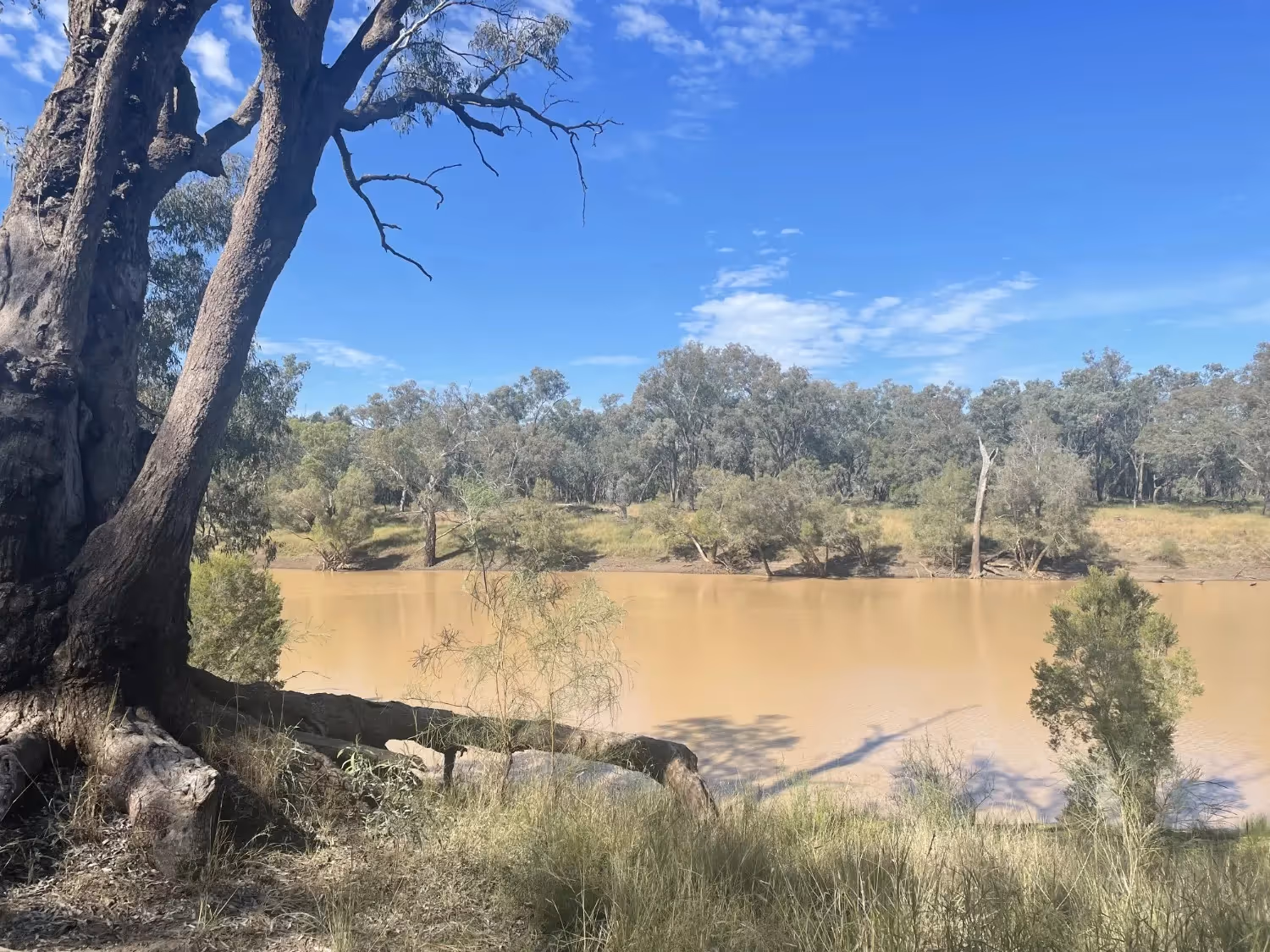
Doondi Waterhole (pictured above) is one of many waterholes along the Lower Balonne’s main and distributary channels.
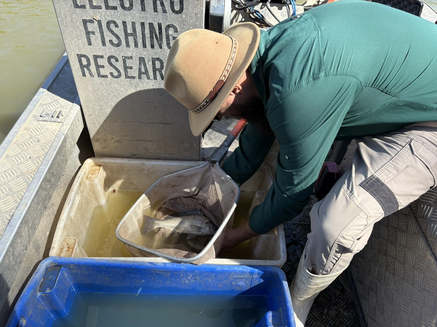
These waterholes provide critical fish habitat refuge during droughts, low or cease-to-flow periods. Many species persist in these areas until larger flows allow them to recolonise the system.
Whyenbah Bridge
Our group stopped at the Whyenbah Bridge where the Balonne River becomes the Culgoa River, with 30 per cent of flows going into the Culgoa and 70 per cent into the Balonne Minor.
Bifurcation Weir No. 1
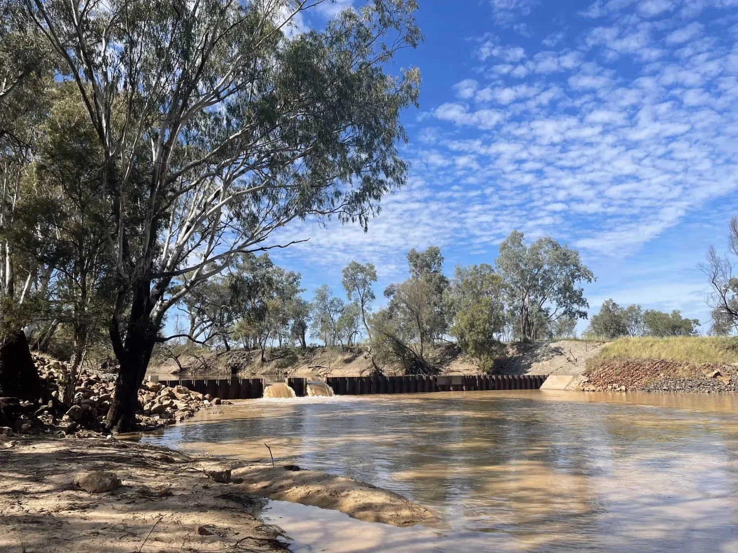
Further downstream of St George, the Balonne River naturally separates (bifurcates) into various watercourses.
A series of bifurcation weirs were installed in the 1970s to manage water flows to different parts of the Lower Balonne system.
The group visited the Balonne Minor River Bifurcation Weir No. 1, located north of the town of Dirranbandi, just past where the Balonne River separates into the Balonne Minor and Culgoa Rivers.
Cubbie Station

Next was a visit to Australia’s largest cotton farm, the 93,000-hectare Cubbie Station.
The station features 22,000 hectares of irrigated cropping fields that are supported by significant on-farm irrigation infrastructure, including weirs (an example of a weir on the Culgoa River, is pictured above) and storages that allow the station to harvest and store water.
Dirranbandi Weir
The Dirranbandi Weir in the small Queensland town of Dirranbandi sits on the Balonne Minor River around 70 kms from the NSW border. It manages water for the town and surrounding agricultural needs, especially cotton and wool.
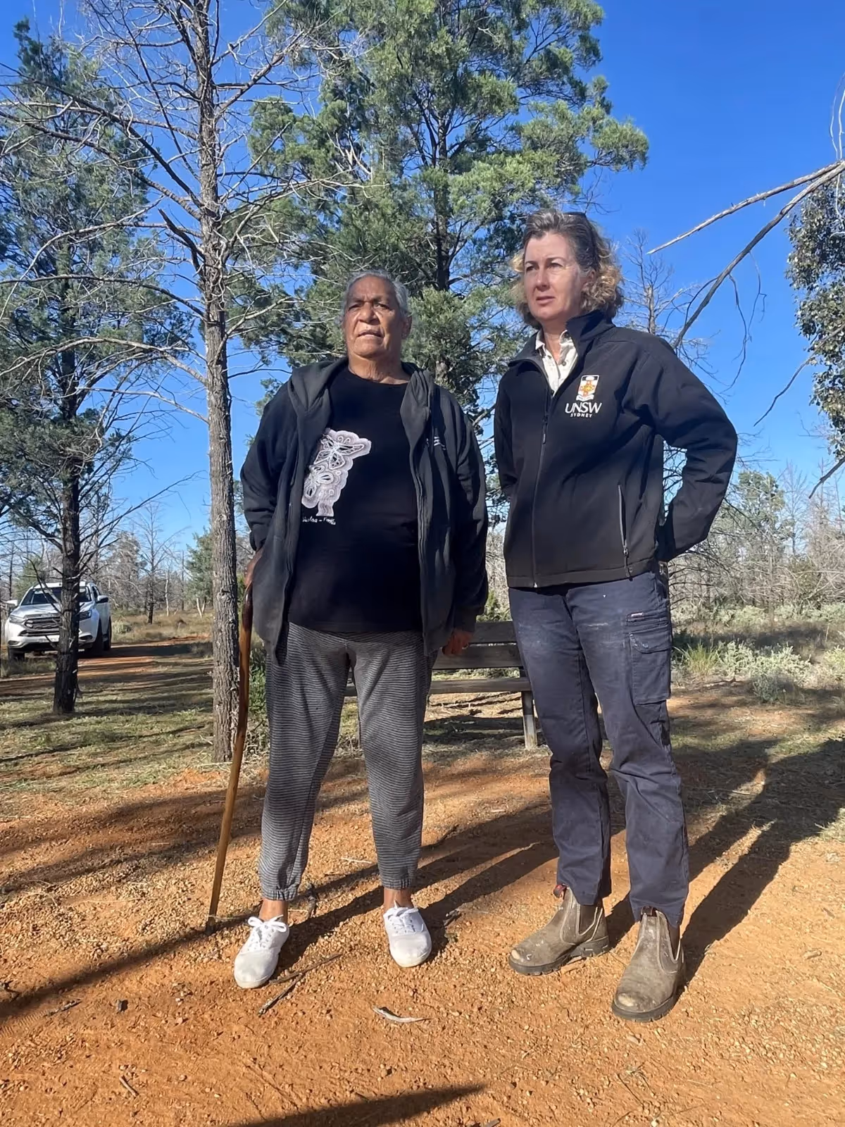
Euahlayi Aboriginal camp
With several Indigenous people participating in the trip, including Yuwaalaraay/Euahlayi and Gamilaroi Elder Aunty Brenda McBride, the group was fortunate enough to visit the old Euahlayi (also spelt Yuwaalaraay) Aboriginal camp on the banks of the Balonne Minor River. The area is now owned by the Yuwaalaraay/Euahlayi people.
The lands of the Lower Balonne have been important to Aboriginal People for thousands of years, with their history, culture and livelihoods closely intertwined with its river system.
Day 2
Narran Lakes

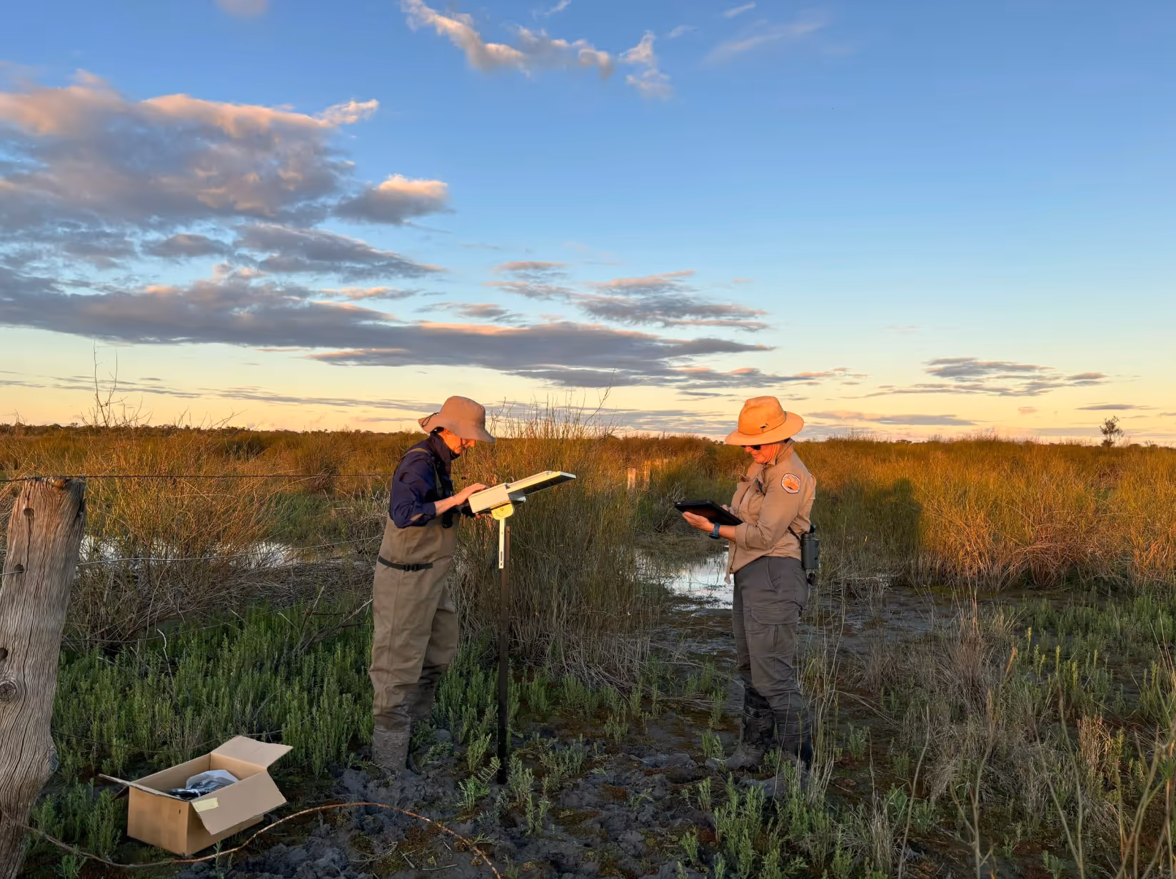
The second day of the trip focused on the internationally significant and Ramsar-listed Narran Lakes, known as Dharriwaa in the local Yuwaalaraay/Euahlayi language.
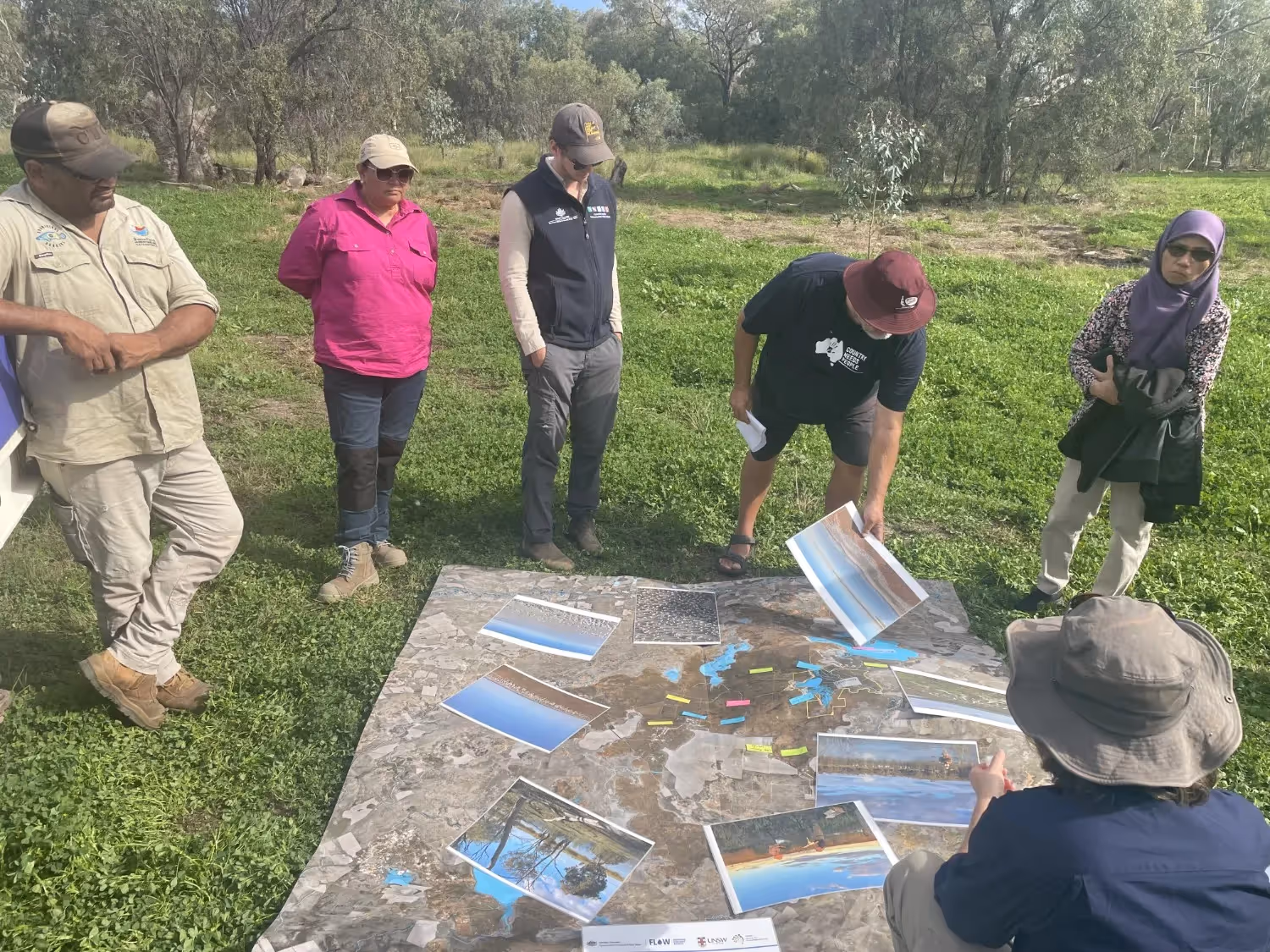
Kate Brandis (pictured above, seated first on left side) took participants through some presentations about her work monitoring waterbird breeding throughout the Murray-Darling Basin from 2021-2023, including an Australian Pelican rookery with around 20,000 nests at Narran Lakes.
She also gave an overview and answered questions about the Flow-MER Lower Balonne River System Area-scale Project.
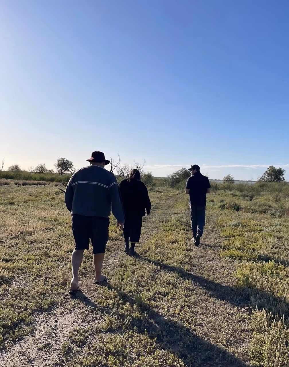
Following the presentations, the group visited the south end of the Narran Lakes Nature Reserve (pictured below).

A closer visit to the largest lake on the reserve, called Clear Lake (pictured above, taken a few days after the field trip during the Narran Lakes Open Day, was not possible during the field trip due to wet road conditions.
Day 3
Coocoran Lake
.avif)
On the final day of the trip, the group stopped for a brief look at Coocoran Lake (pictured in the distance), about 20 kms north-west of Lightning Ridge.
Although dry most of the time, including during this field trip, it becomes a vast lake, spreading 7kms long and 3kms wide during flood times, that attracts a range of waterbirds.
Angledool Mission
Aunty Brenda McBride also took the group to the Angledool Mission and cemetery.
The site is of major significance to Aboriginal people from the surrounding communities of Lightning Ridge, Brewarrina, Goodooga, and Walgett, with many people having ancestors who lived on the mission or are buried at the cemetery.
The local Indigenous community maintains and protects the area and educates the public on the significance of the site.
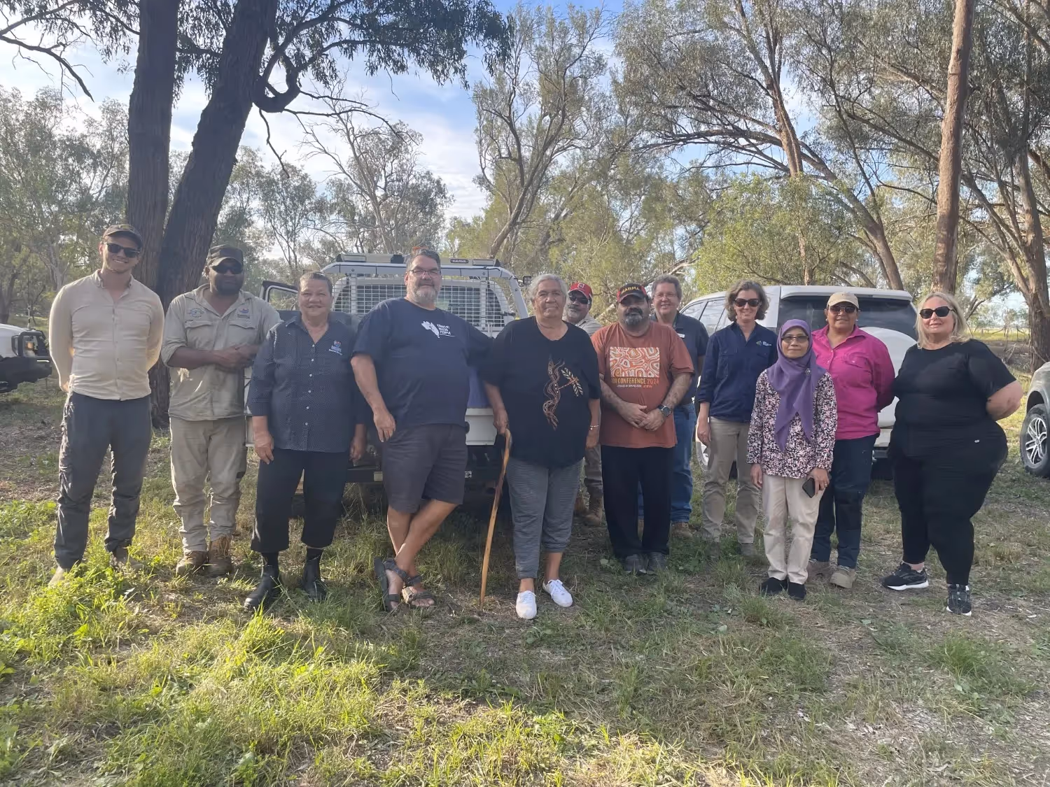
Organised by the UNSW Lower Balonne Flow-MER team and the CEWH, the participants on the field trip were:
- Yuwaalaraay/Euahlayi and Gamilaroi Elder and Narran Lakes Joint Management Committee member, Aunty Brenda McBride;
- CEWH, Local Engagement Officer, Jason Wilson;
- CEWH Water Delivery Officer, Josh Graf;
- University of NSW (UNSW) and Flow-MER Lower Balonne Lead, Dr Kate Brandis;
- UNSW Communications and Engagement Flow-MER Lower Balonne, Jane Howard;
- QLD Murray Darling Catchment Program Manager and Lead, Cheryl Buchanan;
- QLD Murray Darling Catchment Aboriginal Rangers, Nicholas Cowburn, Peter (PJ) Prince, and Naranji Ancient;
- Department of Local Government, Water and Volunteers at St George, Senior Water Officer, Mark Bartlem;
- Department of Local Government, Water and Volunteers, Team Leader (First Nations Engagement), Dianne Lucas; and
- CSIRO, Mandy Hopkins, consultant/coordinator; Damian Bulled, Aboriginal Knowledge Broker and the Lead for the First Nation IPCC work; Dewi Kirono, Scientist.
%20(1).webp)
.jpg)