University of New South Wales (UNSW) Flow-MER waterbird ground surveys were conducted in collaboration with the NSW Department of Climate Change, Energy, the Environment and Water (NSW DCCEEW). 12 Macquarie Marshes sites were visited in August 2025, the first for the 2025-2026 water year.
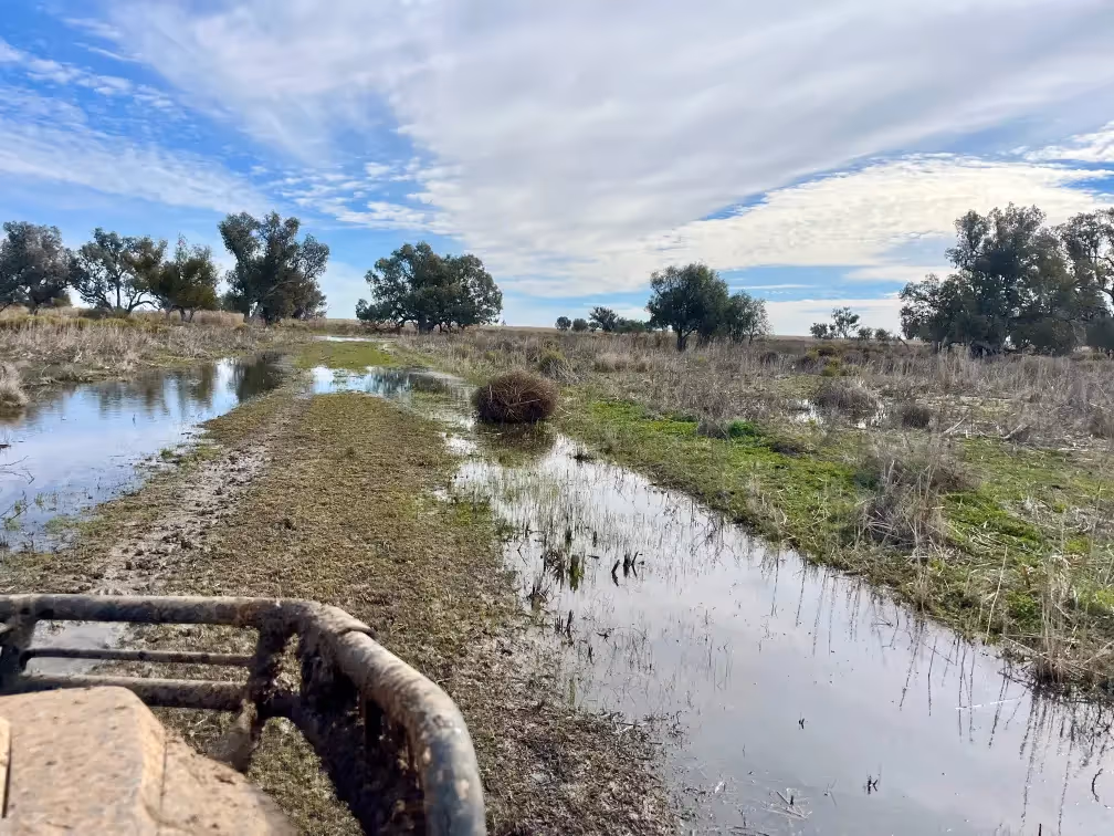
Many parts of the Marshes were inundated, particularly in the northern nature reserve, creating feeding habitat for waterbird species.

The team recorded 30 waterbird species, including one threatened species, the brolga (Antigone rubicunda), which is vulnerable in NSW.
There were high counts of waterfowl, mainly grey teal (Anas gracilis) and Pacific black ducks (Anas superciliosa), along with black swans (Cygnus atratus), hardhead ducks (Aythya australis), Australasian shovelers (Anas rhynchotis) and Australian shelducks (Tadorna tadornoides). Some large and small waders were also spotted including spoonbills, stilts and dotterels.
Data was also collected from five solar bar acoustic recorders during the survey week.
The team are currently collating and analysing both the ground survey and acoustic data to provide insight into the outcomes of environmental water delivery and inform future water management decision-making.
.avif)
%20(1).webp)
.jpg)