.avif)
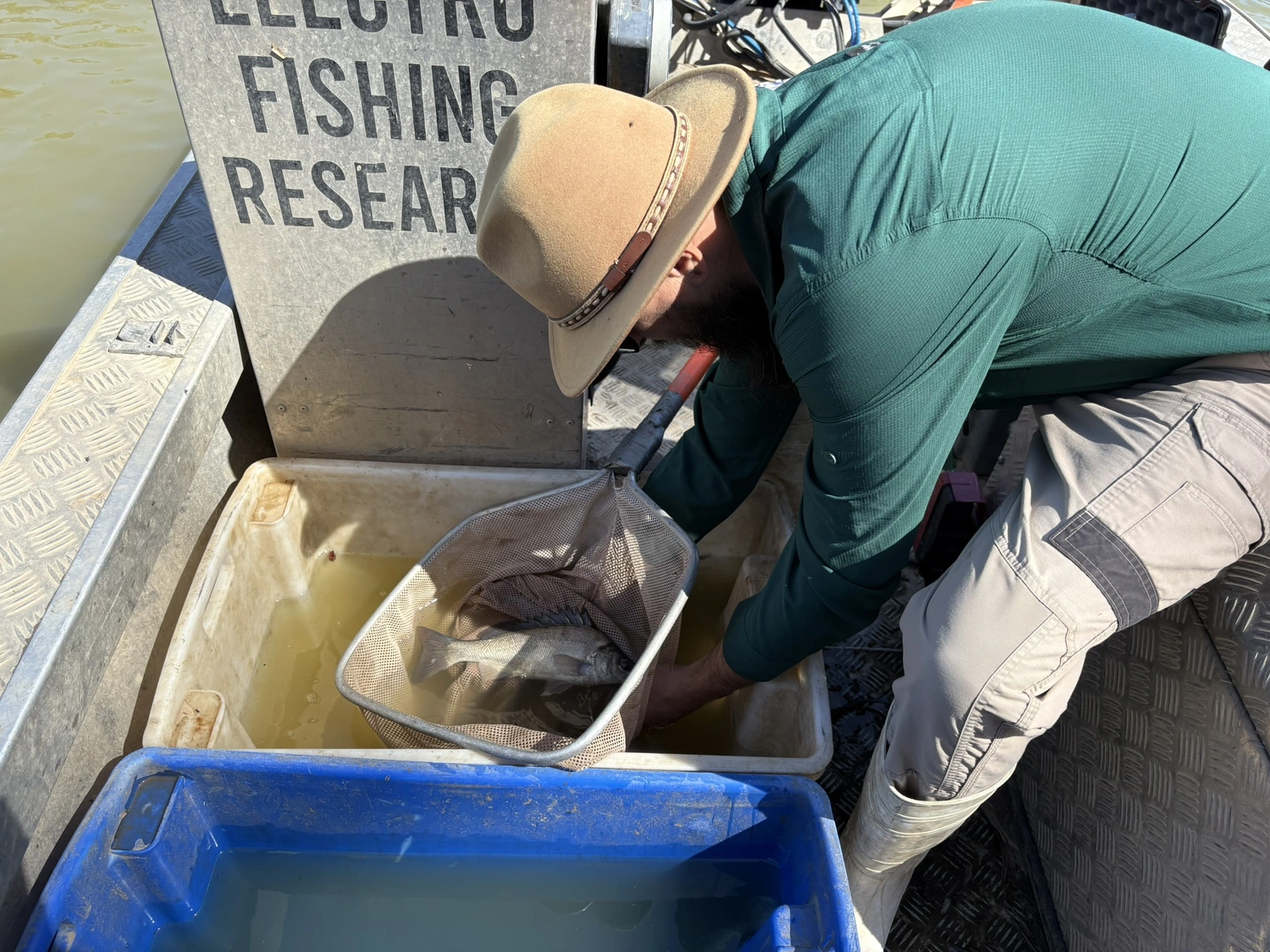
In September, the Flow-MER vegetation team led by the University of New South Wales (UNSW), in collaboration with the NSW Department of Climate Change, Energy, the Environment and Water (NSW DCCEEW) and Griffith University, surveyed 15 riparian transects within the Macquarie River and Marshes Area.
The riparian zone occurs beside a river, and vegetation on the riverbank responds to variable river flows (see diagram below).
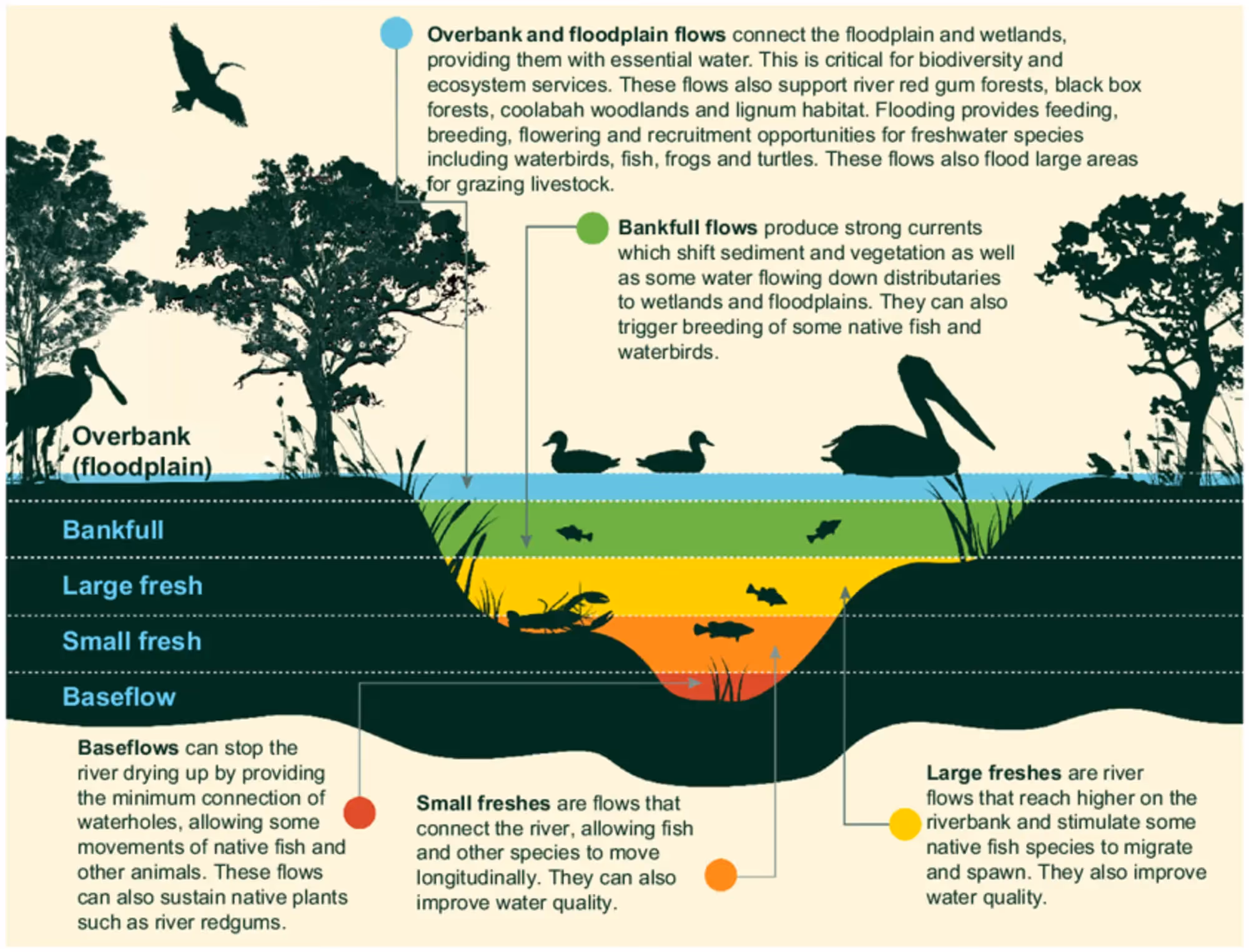
Riparian areas may experience a variety of flows, ranging from small in-river baseflows, to large overbank flows that connect the river with the floodplain and wetlands (Sheldon et al. 2024). The image below describes these flows.
The scale of flows affects migration potential, nutrient redistribution and recruitment opportunities for vegetation, waterbirds, fish, frogs, and turtles.
Griffith University developed the transect design (see below), and field sampling will be undertaken using the design across several Flow-MER Areas within the northern Murray–Darling Basin.

The riparian transects run perpendicular to the river. Each belt transect is comprised of contiguous 1x1m quadrats from the river edge to the top of the bank and then extends 10 m into the river red gum (Eucalyptus camaldulensis) plant community.
The team records metrics such as plant species identity and abundance, soil moisture, tree diameter, cover of bare ground and seedling counts.
.avif)
.avif)
The surveys will be conducted at least twice during the Flow-MER monitoring period.
Comparing data across time will help the team understand how water for the environment contributes to riparian vegetation condition and will inform future water management decisions.
.avif)
%20(1).webp)
.jpg)