.avif)
Overview
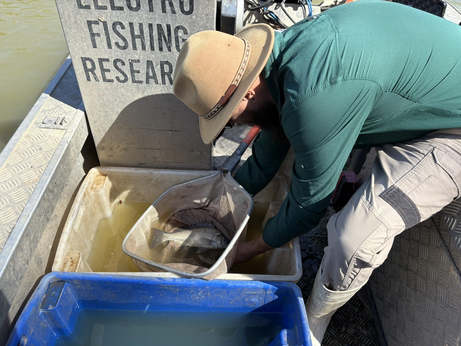
In March 2025, rangers and scientists used drones at Gayini on the Lowbidgee floodplain to check the condition of lignum, an important wetland plant. This was the first yearly survey as part of a four-year project. The project will study different flooding patterns including how often it happens, how deep the water gets, how far it spreads and affects on the health of lignum.
Scientists are working in partnership with the Nari Nari Tribal Council on the project. The rangers shared valuable on-Country knowledge which helped guide where and how we collected data.
Why Monitor Lignum?
Lignum is a native shrub that has a crucial role in floodplain ecosystems. It provides:
- Nesting spots for waterbirds
- Shelter for aquatic animals during floods
- Habitat that supports a wide variety of wildlife
Lignum needs regular flooding to stay healthy. However, because we’ve changed how rivers flow – for example for farming and water supply for towns – some parts of the floodplain are receiving less water than before. This can cause lignum to weaken or die off.
By watching how lignum changes over time, we can see how it responds to different water conditions—and use that knowledge to protect or restore its health.
How and Where We Collected Data
To collect information, researchers used a specialised drone fitted with a multispectral camera. This type of camera captures more than just normal photos—it also records wavelengths of light that show how healthy plants are.
.avif)
The drone flew over 24 plots, each about the size of a soccer field (70 × 70 metres), spread across four different sites. These sites had experienced different amounts of flooding—some had flooded recently, while others hadn’t flooded in years.
The drone collected three types of data:
- True-colour images at 1 cm resolution (like what our eyes see, but extremely detailed)
- Multispectral images at 2 cm resolution, using bands like Near-Infrared and Red Edge that help detect plant health
- Structure-from-Motion (SfM) data, which creates 3D models of the lignum shrubs and the surrounding ground
By combining all this information scientists can get a clear picture of how healthy the lignum is and how water levels affect it over time.
.avif)
What the Data Tells Us
The processed images and models showed some clear patterns:
- Lignum plants were greener and healthier in plots that had been flooded more recently or more often.
- Plants were weaker and thinner where there hadn’t been water for one or two years.
- The 3D models showed that lignum in wetter areas was taller and fuller while in drier areas, it was shorter and more open.
This shows that water availability has a big impact on lignum health. Thanks to the drone’s detailed images, we can now track small changes in the plants without walking through and disturbing the area.
Doing this kind of survey every year will help us understand how lignum responds to changing flood patterns.
What’s Next?
The 2025 survey provides a baseline—a starting point we can compare future data to. In March 2026, the team will return to the same spots to see how things have changed.
We’ll also be trialling the use of satellite data to apply what we’ve learned to a larger area across the Lowbidgee floodplain. The goal is to combine drone data, satellite images, and local knowledge to guide important decisions about:
- Where and how to deliver environmental water
- How to restore or protect key habitats
- How to manage the land and water in a way that supports both people and nature.
This project is helping to protect floodplain ecosystems by combining science, technology, and traditional knowledge—all to support a healthier, more resilient landscape.

%20(1).webp)
.jpg)